Showing posts with label ghost community. Show all posts

Sunday, July 11, 2021

Bakersfield


Bakersfield, Colorado

Bakersfield, CO, was a small country Post Office on the Plains of Eastern Colorado.   SW of Vona or SE of Seibert.  It served local farmers and ranchers, early 1900’s out of their house.  Where the map showed the location, there were a couple of homes.  One was an abandoned farm, now home to grazing cattle.  Nearby was an operating farm, with equipment and well kept yard.  The empty farmyard is probably where the PO was located. 


It is an area of rolling hills, of mostly pastures, with some farmland.  Cattle pause their browsing to look at the interloper, the buffalo have a look of curiosity and the deer and antelope scurry for cover and distance.  The fox and coyotes wander the area as do other critters.  Then there are the birds, Eastern Colorado has one of the largest, most diverse variety of birds in the state. 


Because it is mostly ranchland, the area is pretty empty.  Homes are few and far and the little country Post Office may have had a couple dozen customers. 


Nearby is the Mennonite community of New Fredericksburg. The church has been boarded up, but it appears the graveyard is still used and taken care of.   Probably there are still some ancestors in the area.


It is a land that holds memories of dreams from years ago. 


Saturday, July 3, 2021

Oriska, Colorado


Oriska, was a rural Post Office, located in East Central Colorado, just south of Seibert. 


The map shows there had been two Orica’s, one located on SH Hwy 59 and the other just a couple miles to the east.  Both were in operation during the early 1900’s.  When the contract for mail service was changed, it appears the name stayed with the PO.  On occasion when the rancher would get the PO contract, he would change the name of the Post Office, using his last name. 


Along the highway there is not much left of the ranch.  A few out buildings and corrals.  According to the map, Oriska was just south of the corner store.  The General Store, would be located on the corner of the correction line road curve. 


Here there are a few old building and houses.  Often these little general stores would get the Post Office but according to the map, no PO was located at the curve. 


These little country Post Offices would serve around 12-20 customers.  Located in the ranch house, it would also be a place to pause and visit and learn the gossip about the neighbors.  The postal customers of Oriska were probably consolidated in the Post Office at Seibert.  


Sunday, October 25, 2020

Adena, Colorado


Adena, Colo.


The farming community of Adena, is located along the southern edge of Morgan County.  Not much can be found about this community but one can speculate based on similar places. 


Located on the banks of a small creek, there is not much left.  The one room school still stands and there are footers/foundations in the weeds and rubble.  The name Adena probably came from the settler that first had the post office contract for the area. 


From this small rural post office, the community probably grew.  The nearest town of any size is if about 30 miles away or better.  Besides the school, Adena probably had a general store to accommodate the post office.  May have been a blacksmith and when the autos showed up a gas station. 


Often there would be a community barn for hosting social events, card parties, dances, quilting bee’s… etc. To the north, about 3-4 miles, is the Adena community church, out back is small graveyard. 


Being along side of a creek, means it was downhill in the morning for the students.  In the afternoon, for the return walk home it was uphill.  Unless you home was downstream on the same creek. 


The farmers plow around the area where the community had been.  There are a few trees there plus the rubble.  The school will stand until it tumbles for it is not taxed.  The one room school had a few additions over the years.  The one room is now a two room.  So there was provably good sized settlement in the area at one time. 


Today the breezes float over the land, giving the birds currents to glide on. 


Sunday, August 9, 2020

Church Community


Shiloh


Shiloh was a small church community located in the Northwest section of Kit Carson County, CO.  The church still stands, in serious neglect and appears to of been abandoned more then 50 years ago.  Out behind is the graveyard, again neglected.  Weeds hide the markers and critters burrow here and there. 

It appears no descendents from the community still live in the area.  Steel pipes mark the edges of the graveyard to keep the farm from encroaching. 

The prairie winds flow unfettered thorough the roof and open windows.  Having withstood the elements over the decades the little tattered building is a reminder, when dreams and hopes filled the land.  Whispering winds filter through the open boards, rustling the memories of other times. 


Old farm machinery resides in the side yard
Old wooden plaster lath is revealed as time takes its toll on the church.

The out house has gone to rest in its repository.  


Saturday, May 16, 2020

Empty Ranch


Ranch on the River

            Wandering along the dirt roads leads to adventure, hopefully.  Any this roaming trip took me to an unusual setting.  A ranch house that was sitting on the edge of the river.  Not up on the banks like most homes but down next to the river.  Today it doesn’t look like much of a river.  Much of the Republican River has dried up in Eastern Colorado.  Prior to 1900 the Republican was gushing little stream flowing over the plains.  With water wells, farming much of the water for springs has went other places.  The drought of a few years ago did not help, many of the springs dried up and have not came back.
            Years ago the river would flood from severe rainstorms and water would stretch across the valley in a raging torrent.  The flood of 1935 was probably one of the nastiest floods on the prairie.  In some places the river was three to four miles wide and 50-100 feet deep.  Washing away homes, animals and anything not real secure.  Looking at the river today it would be hard to imagine a torrent stretching across the way to the far hills side.  The flood waters were probably lapping at the edge of the little house on the river.
            The Republican was the highway for the early European explorers.  The Indians had been traveling along these routes for centuries, so when they guided the white man, they followed their known trails.  This area of Eastern Colorado was a part of the Louisiana Purchase.  Early 1600’s the French had established a trading post in Western Nebraska on the Republican River.  Along the river the French trappers could follow, trapping and trading with the locals. 
            The French Territory, butted up next to Spanish lands.   The Spainish would send out patrols to check on the French.  Traveling north out of New Mexico, the Spanish would use the Republican River route to journey to the French outpost in Nebraska.  What looks like barren void country today, centuries ago was a busy route on the plains.  As more explorers showed up, the river route became a busy thoroughfare across the empty land. 
            After the Louisiana Purchase, Lieutenant Zebulon Pike followed the Republican River across Kansas into present day Colorado.  Eventually this portion of the river would be the route the Leavenworth and Pikes Peak Stage lines would use.  The Stage line operated coaches in pairs with teams of four mules hauling the coaches across the country. 
            Along the river the stage line operated numerous stage stations the keep the mules fresh and the coaches moving westward.  If you could go back in time to 1859 you would of probably met Horace Greely on his westward sage ride through here.  They also operated freight trains along the river road.  50-100 wagons could be seen on occasion trekking along the wagon road.  They would be pulled with oxen, a draught of two yoke of ox and the bullwhacker.  Steadily the freight would move over the land, the bullwhacker silently walking beside his double yoke of ox.  There would be a small herd of extra oxen and men traveling along with the wagons.  Conjure up and image when the train would stop for camp. 
            With the advent of more railroads crossing the land, wagon roads like this became obsolete and are now but in memories.

Saturday, May 2, 2020

Leader


Leader Colorado

Adams County is the community of Leader.  Being miles from any railroad, the store at Leader provided most everything for the settler.  The general store building still stands at the intersection of country roads.  It is a mixture of farmlands and pastures. 

Today there are maybe a half dozen homes in the area and the Leader Volunteer fire department, firehouse is next door. 


Yet this little corner store holds a hundred and one stories plus.  Early 1900’s, travel was by wagon and mule.  Average speed was about 4 miles per hour.  The limits of the settler to travel to the store on average, less than 12 miles.  For most it was 3-6miles. That means a trip to the store was around 3-6 hour journey.  Further then that would be an all day trip.

Here at the store, the settler would get his mail and or mail letters.   There would also, usually, be a blacksmith.  All the necessary stuff one could need was found at this little general store.

In the store there would be a clothing section, there would be boots and shoes.  There also would be the sewing section, so many wore homemade clothes.  There would be bolts of cloth, buttons, and patterns for shirts. Blouses, dresses, pants, thread, needles… etc.  In another corner would be a hardware section, nails, bolts, screws and other items, hinges, hasps and various tools.  At another counter, would be ammunition and guns.  It was for varmints, not many folks liked to have skunks or coyotes pay them a visit. 

Then there were the groceries, not like we see today.  It would be bags of staples, flour, sugar, coffee and supplies for canning or processing meat.  Most had a garden and canned their veggies.  Some would can their meat so canning jars and accessories were important. 

Flour sacks would be eyed for their pattern.  Would that color and pattern make a nice dress or blouse.  Selecting the flour bag was as important as the flour.  Home baked bread, rolls, or biscuits with a gravy was a staple.  Bags of beans would be purchased.  Various seasonings, salt was in a bag, pepper in a tin. 

The trip to the store was usually a monthly adventure and supplies would have to be bought to last for the month.  Many of the people in the area would have an account with the store and when their checks for their crops or livestock came in, bills were paid off. 

The general store was also news central.  The gossip would be plentiful when going into town.  They could also find out when the barn dances were, the funerals, the weddings and births. 

Way back then, it was a different way of life.  Many say it was hard, for them it was another day of life.  Here the folks from Europe had freedom from the tyranny of the royals.  They also had their own land, not the land of the kingdom. 
The little store building that still stands on the corner is a style I have seen for other stores out on the prairie.  It would be nice if some of these little store fronts would be saved.  One of the biggest things is to get them off the tax rolls.  That is the biggest reason so many of them are torn down, get out from under taxes.  There are special state funds for preservation of historic property.  People just have to be willing to jump through the hoops of the bureaucrats. 


Friday, April 24, 2020

Barry Post Office.


Barry Colorado

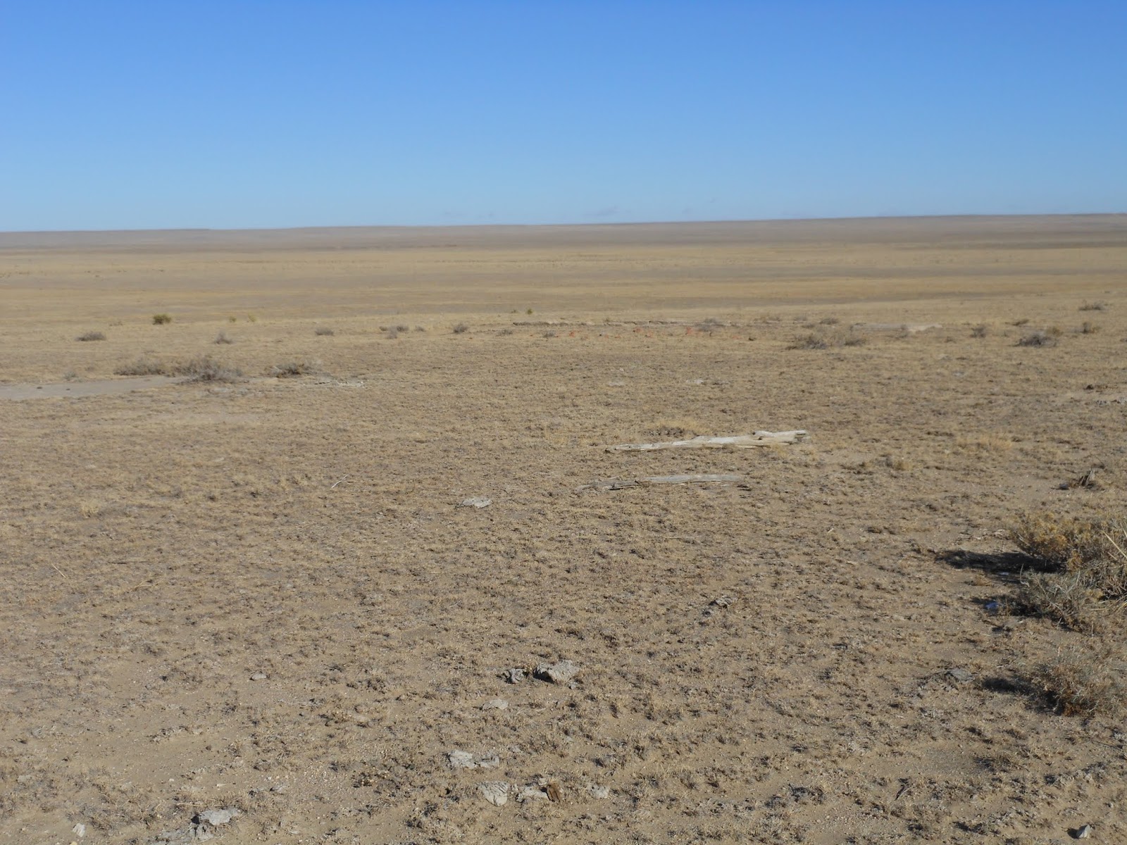
So often when I go looking for these little communities, I find a field.  The home that had housed the Post Office is no more.  It has been demolished and plowed over by the farmer that bought it.
That is pretty much what happened to Barry.  Early 1900, farmer Barry had a contract to host a Post Office in his home. The host farmer would keep it for a time then lose the contract for whatever reason.  Then another farmer would host the Post Office.  On occasion the Post Office would be consolidated into another or go to town.  There were so many variables on how the contract would change and or move.  I have managed to find a few ancestors that had some history on their local Post Office.  In one instance, the old Post Office contract was out bid by another local rancher.  So the Post Office was moved.  In another a town was formed and the town got the Post Office. 
In the case of Barry, I’m guessing the contract was awarded to another or farmer Barry went belly up.  Homesteading was not easy and there were failures.  Having a PO contract meant a few coins to help keep the family going but if the contract is lost, the farmer gives up and moves on in his life.
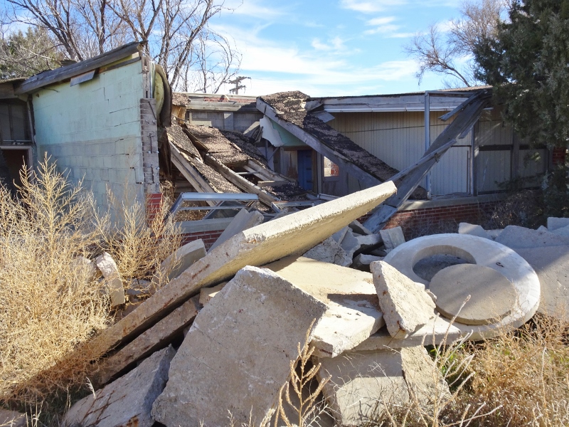
Whether there is anything left of the community Post Office is not of major importance to me.  I like the journey and the sights I find along the way.  There were a few abandoned ranches along the way, with big barns, some homestead remains and an assortment of rusty old equipment. 


At Barry though I got a treat.  At the road intersection there was a farmhouse across the road.  As I drove past, the dogs came out to greet me, chasing my pick up down the road.  I went across the road and turned around to take some pictures.  The dogs had arrived and not far behind was a four wheeler.  The dogs were friendly and as I was petting them a young man got off his ATV and came to say hi and see what I was doing. 
We stood there talking for a bit, he was 10-11 years old.  When I asked him why he wasn’t in school, he said it was spring break time.  Probably much like his father, as we were talking, the young man was looking out across the land.  A fairly common trait among country folks, they seldom look at the other person when talking.  The gaze roams over the land, checking things.  Here was this youngster being just like a man of the land.  What a contrast from city kids, he was well mannered, spoke to the subject and was very conversant.  The other thing was, all by himself, he drove the four wheeler and was very adept at it.  His father had probably restricted him to the ditch for it was well mowed.  That is where he had driven and parked it, walking across to the road to say hi. In the city, they don’t want their kids driving until the kids are old and gray.  What a contrast. 
Any way, it was an empty filed where the map had shown Barry to be.  I looked around, said good bye and was escorted down the road by the dogs. 

Barry is located in the NW corner of Kit Carson County.


Sunday, April 12, 2020

Country Community


Liberty Community

  Liberty was a church community, located in central Lincoln County, CO.  Many of these little churches dotted the plains years ago.  Few survived the Dust Bowl of the 30’s.  The land around Liberty is mostly ranch land because the soil is very sandy and not good farm land.  Yet here people settled and raised their families. 

  Today the only reminder that there had been a community is the remaining graveyard.  The church was removed a number of years ago, there is a slight depression in the ground where it had once been located.    The graveyard is well laid out, with section and row markers still in place.  Somebody in the area gives it TLC on occasion, moving the weeds/grass. 


Over the years I would drive past the little graveyard, giving little attention.  I would stop on occasion to take a picture of the gate.  The entry is very ornate and was a good subject for some nice pictures.  I finally made it appoint to go visit and have a look see.  I’m guessing there were lots of wooden crosses that were used in the early days and they have rotted or blown away.   There were some homemade markers and some of an early century style.  I did not see any veterans headstones.  The latest I saw was 1935.

I found an old history book for Lincoln County and It had a picture of the church and gave a brief history on the community, the local settlers.  From the looks of the picture, the church was on the downhill side of fading.   By the time 1940 rolled around the church was gone and many of the early settlers had moved on.  The graveyard is a silent memory of days gone by. 


Saturday, December 29, 2018

Rago Colo


Rago, Colorado

Rago was a small community in the NW part of Washington County, next to the Morgan County line.  It had a Post Office, shops, stores and a roller skating ring.  The skating rink was an unusual amenity in these small settlement communities on the prairie.   Scattered across the land are other communities with roller rings.
There is not much left of the little burg.  There are some trees that mark the spot and out in the pasture are the rubble piles and foundations where the stores and homes had been.  Today cattle graze among the ruins, listening to the whispering winds of the past. 
It is mostly range land in the area and there are a couple of ranches nearby and some old, falling apart buildings.  The windswept land had its horrible moments during the dirty thirties.  Reminders of the Dust Bowl can be seen on occasion.  One ponders the hardships the early day settlers had to deal with. 
A roller rink would be a good diversion.  It probably also the social center for the area.  Many a young couple met and romance flourished on the hard boards.  The rink was probably also used as a community center.  Meet and discuss the problems of the day, quilting Bee’s, card parties and the weekend hoe down.
One can sit on the empty country road and hear the voices of the past.  Let the imagination roll back to a time that has passed.  Today it seems like hard times.  Back then it was life and people rolled with it.  There was no big government, people made their own way.  This is the heritage our forefathers handed off to us. 
A song of the land that rolled all the way across and ocean and traveled westward.  A spirit that was undaunted by the land.  The land held dreams of their own piece. 


Saturday, December 1, 2018

Gary School


          Gary was a community situated in the SE corner of Morgan County. The schoolhouse is about the only reminder that there once was a community.  There are no buildings in the area that look like they could have been stores.  The Post Office, more then like;y was operated out of a private residence..
          The schoolhouse has been neglected for years and is overgrown that is has almost disappeared.  The small gym/auditorium sits high enough to be visible. 


          The landscaping out front has gone un tended and has covered over the front of the school.  In the back it is overgrown with weeds and assorted rubble.  The driveway around the school is maintained and appears to used to park equipment on occasion.  The back of the gym had double doors and may have been a garage at one time.  Now it house a fox and other critter. 
          Not a one room school but an interesting school to find and ponder as I walk around it.  Back in the day it was probably a primetime school for the country kids that went to school there.  From the classrooms and size I would guess it schooled 40-60 students, grades one thorough twelve.  Kindergarten was a city thing years ago. 
          The roof has caved in, windows are broken, doors stand ajar and mother nature continues reclamation work. 


Saturday, August 18, 2018

Green Knoll, Colorado


Green Knoll


Green Knoll was a settler’s community.  Located in the southern part of Lincoln County, CO.  It is one of the most sparsely populated areas of Colorado, about one person for every 10 square miles.  During the early 1900’s it was homestead land where one could pursue their dreams. 

When there is moisture in the land, it looks bountiful and productive ground.  Then it forgets to rain and the land becomes parched.  Yet the knoll the school house was located on was green.  The rolling land would stretch out like a green carpet after it rained.  For the early settler it was enticing.


Homes were built, there were families with children.  Times were plentiful, with optima a school was built and a Post Office was located in the farm home across the road.  Then the Dust Bowl struck, dreams were dashed and blown away. 

People fled the land that was no longer productive and today there are a few that hung on still work the land.  The few ranch homes in the area are miles apart.  Yet on the Knoll that was Green, the remains of the school house can be seen and across the road is where the Post Office had been. 

For the few people that venture into the area, consider it lonely.  The few that remain, this is home.  The wide open vacant land that stretches to the horizon is where they make their living.  The rolling pastures are their offices. 


The occasional critter dies and their bleached bones are laid out across the prairie.  Over on far horizon can been seen a windmill.  Sitting in silence, a monument to man to make a living on the land. 

Years ago before the Dirty Thirties, this was the land of hopes and dreams and people traveled out here to live.  Today, people would ask why.   Well one has to understand the conditions the people in Europe were living in at that time. 

So my little pickup goes bouncing down the dusty country road looking for more lost dreams. 


Saturday, September 30, 2017

Vernon


Vernon, Colorado
            Located on the north central plains of Eastern Colorado, the little village has more memories on Main Street then pedestrians.  It is a country settler’s village that has hung on.  There are no major highways through town or a railroad.  Yet the town has maintained a small population of around 30 souls.  Main Street is empty, boarded up and the sidewalks are rolled up.  Down at the end of the road is the Post Office, there are enough residents in the area to keep it going. 


            For one weekend a year, Vernon comes to life, people stroll the town park, tractors pop and sputter and horses have the right of way.  Vernon Days is celebrated just before Labor Day.  It is a day to remember when their forefathers came into the area and homesteaded.  The few town folks roll out the old time carpet to celebrate yesteryears. 
            Otherwise the other 51 weekends are pretty noiseless as the sleepy little goes about life.  Surrounded by farmland, the whirr of farm equipment is more common the laughter of school children, from the now shuttered school house.  The little country church is well kept and hears the word on occasion.  The shops of Main Street remind one of when they could stop in and pick up supplies.  Across the street is the town park square, well groomed and cared for.


            Off in the distance on a ridge can be seen the community cemetery.  Looking at it one could see that the area was populous at one time.  Yet like so many prairie towns, the people left to try and find greener fields in the city. 


            Those that remain have different pace of life, the nearest towns with shops are miles away.  Sometimes the bus ride to school can be over 100 miles.  Yet the people take it in stride and live out a life from the land.  


Sunday, September 17, 2017

Carr Crossing, Colorado


Carr Crossing

Situated in the southern end of Lincoln County, Colorado, Carr Crossing was a community/rural Post Office during the early 1900’s.  For the visitor of today, it is some of the most empty land in the state.  Lincoln County is called a Frontier area, there aren’t enough people to qualify as rural.  Population density is less than one person per two square miles.  In the areas of Carr Crossing the density is probably 1 person per 10 square miles. 

Yet during the early 1900’s scores of people came out to this area to settle and homestead.  Scattered through the area are the sites of numerous empty and abandoned homes.  Moisture is extremely sparse and farming is almost impossible.  Today it is mostly range land with a few cattle grazing on the rolling hills.
The Car Crossing Post Office was located on a wagon road that overlooked the valley of Horse Creek.  Today there are no roads that go past it and way out there in the pasture is where it used to be.

The same is for the school, way out there in another pasture is where the school was located.  As the crow flies, it is about 5 miles from the PO to the school.  First time I visited the area, I had no idea there was a school because it was way off any road. 
When talking to some local people, they mentioned that the merry go round still sat out in the pasture form when the Carr Crossing School was teaching the children of the settlers.  So when I went through the area, I made it point to go looking a little closer to try and see the merry go round.

Driving down the road, I spotted a dead tree off in the distance sitting on a ridge and an outline next to it.   Pointing the camera off that direction and zooming way out, I snapped a couple of pics.  Sure enough there was the merry go round.  I tried finding a road to get closer but no luck.  So I have an ethereal picture of school playground out in the middle of a pasture, I would of never found if not for idle conversation. 
Carr Crossing is one of those places that will probably stay unexplored for decades because of their locations.  Then that is okay, I don’t know many people that like folks walking across their backyard. 


Here is an open area that has not changed much over the eons.